Midwest Deer Surveys
To contact us please call or text 660-202-2202 or fill out out the "Contact Us" form on the website
To contact us please call or text 660-202-2202 or fill out out the "Contact Us" form on the website

Our comprehensive deer herd health analysis provides in-depth deer assessments to inform you on making the best wildlife management decisions on your property.

With our property mapping service we can make high quality images and models of your property using our special photogammetry technology

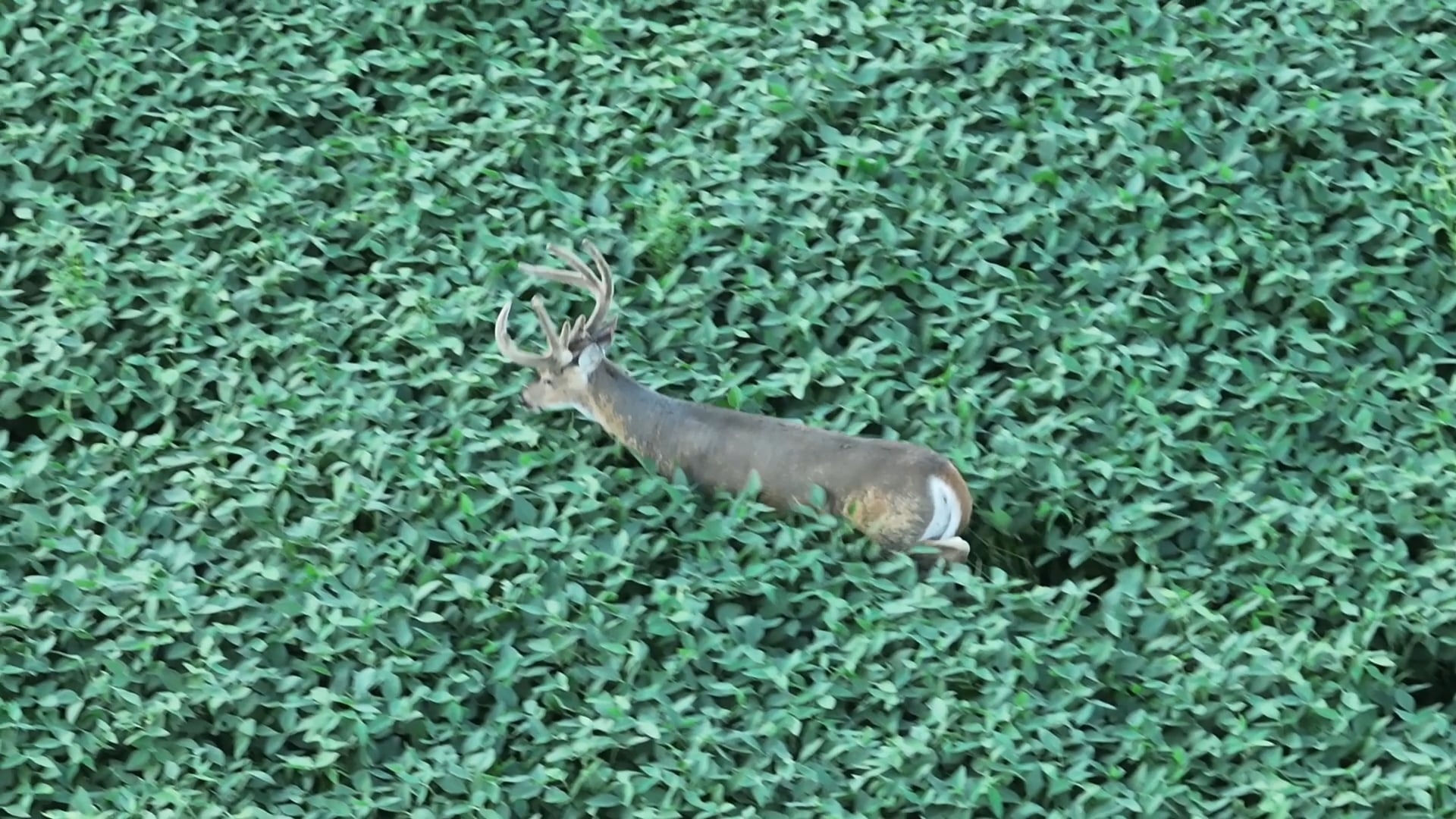
Our deer recovery service uses state-of-the-art drone technology to quickly locate your deer in difficult terrain and conditions. Call us so we can assist you as soon as possible!

We offer additional services for personal, commercial, and agricultural needs. These include lost pet recovery, aerial photography, videography, and mapping.

Jack combines a passion for the outdoors with innovative technology. Growing up hunting ignited his love for nature and inspired him to address challenges in land management. As an avid hunter, he is dedicated to providing efficient drone solutions for land management and herd health analysis.
Jack has worked with some of the best hunters and land managers in the industry Including Don Higgins, Bill Winke, Grant Woods, and many more.
Check out this video! Go to our media page for more videos.